While the N1 is widely considered the country’s most important and primary national highway and the N3 carries the most freight, the N2 is South Africa’s longest uninterrupted road.
The highway begins in Cape Town’s CBD at the northern end of Buitengracht Street near the V&A Waterfront.
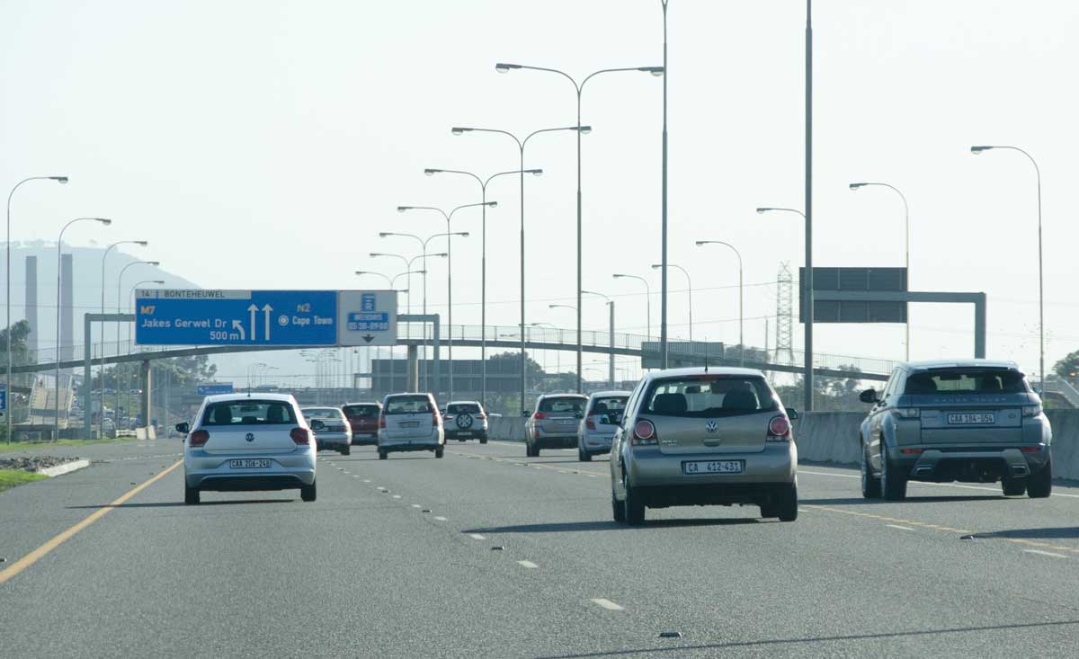
It briefly shares a dual-carriageway alignment with the N1 before branching southeast past Cape Town International Airport (CTIA).
From there, it hugs the southern and eastern coastlines for roughly 1,800km before turning inland near Eswatini to terminate at the N11 junction in Ermelo, Mpumalanga.
In total, the N2 measures 2,255km, passing through four provinces and major hubs including George, East London, and Durban, as well as several South African natural and engineering landmarks.
For comparison, South Africa’s second-longest highway is the N1, which runs 1,936km through five provinces, from Cape Town to the Beitbridge border between Limpopo and Zimbabwe.
However, this was not always the case, since the N2 originally terminated in Durban when South Africa laid out its numbered national road network in the mid-20th century, making the N1 around 200km longer than the N2.
Originally, the coastal highway running north of Durban through the Zululand area was not part of the N2 route, but in 1975, South Africa embarked on a national route renumbering drive.
Following this, and subsequent route extensions, the N2 absorbed the northern Natal coastal road, which continued inland to Ermelo, where it terminates at the N11 junction to this day.
This allowed the N2 to add over 500km of road surface and overtake the N1 to become the longest uninterrupted route in South Africa – a title it holds to this day.
Unlike the N1 or N3, most of the N2 is untolled, so driving the entire corridor incurs only five mainline toll plazas totalling R211.50 for a standard Class 1 vehicle.
Multiple engineering marvels on one route
Because of its length, the N2 passes through many different terrains, including coastal escarpments, rivers, mountains, valleys, and more, requiring several notable civil engineering structures to traverse.
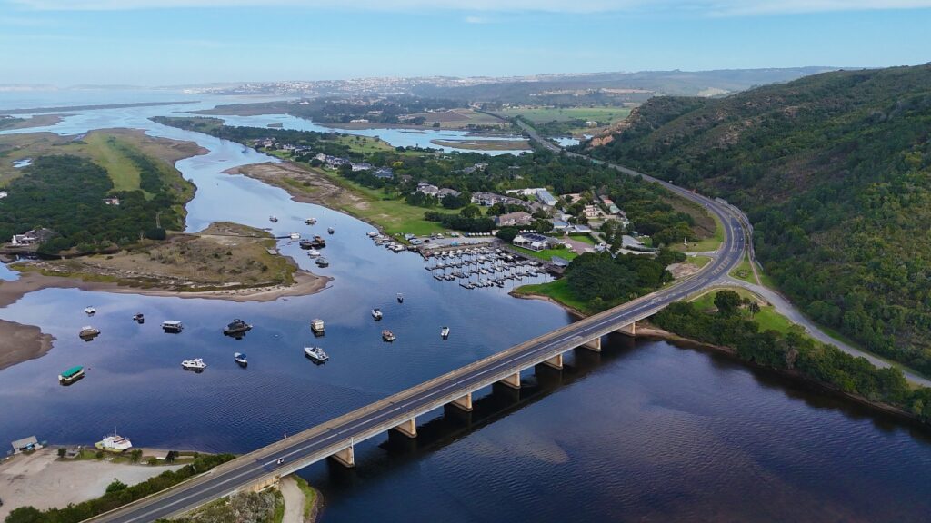
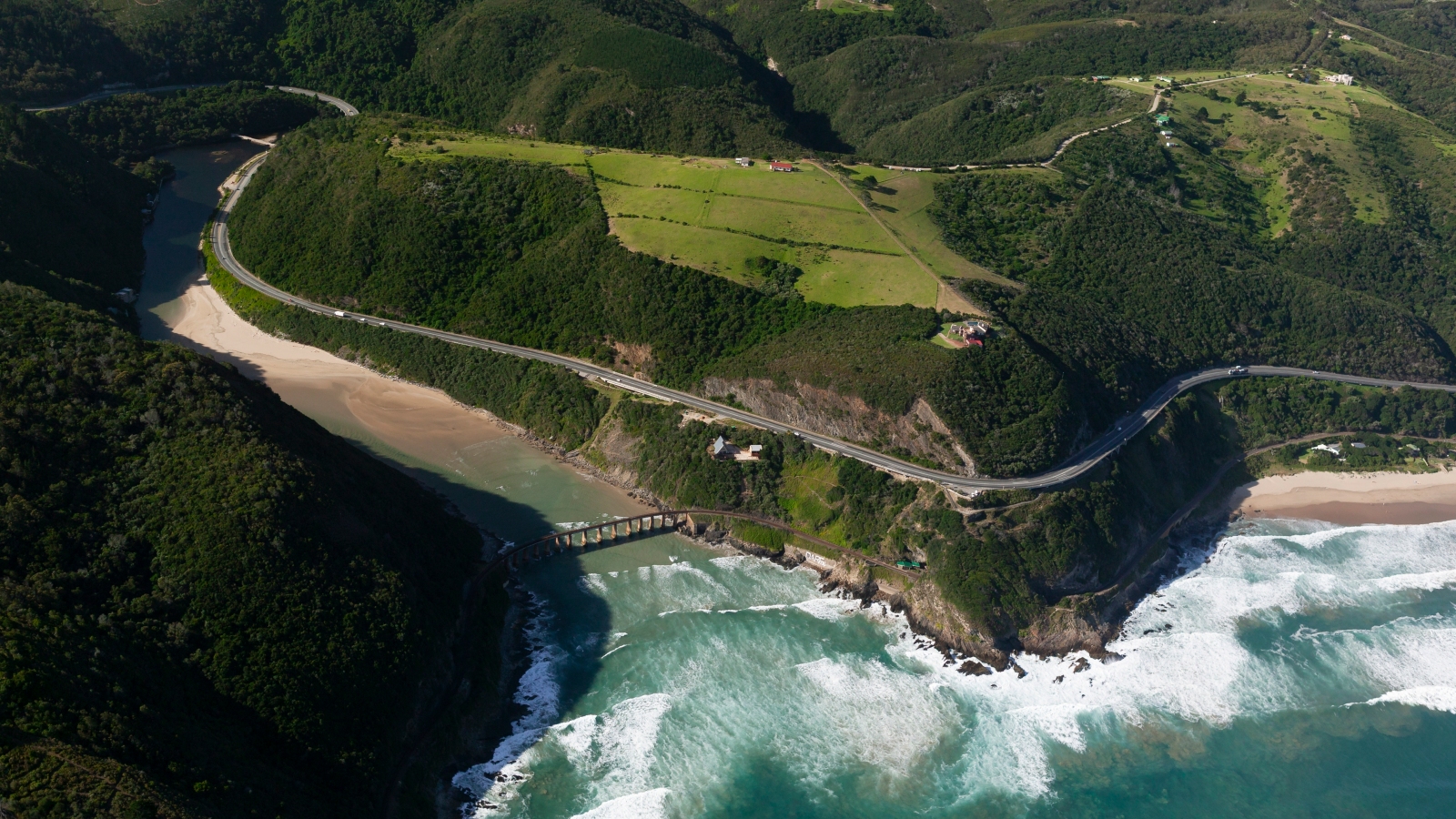
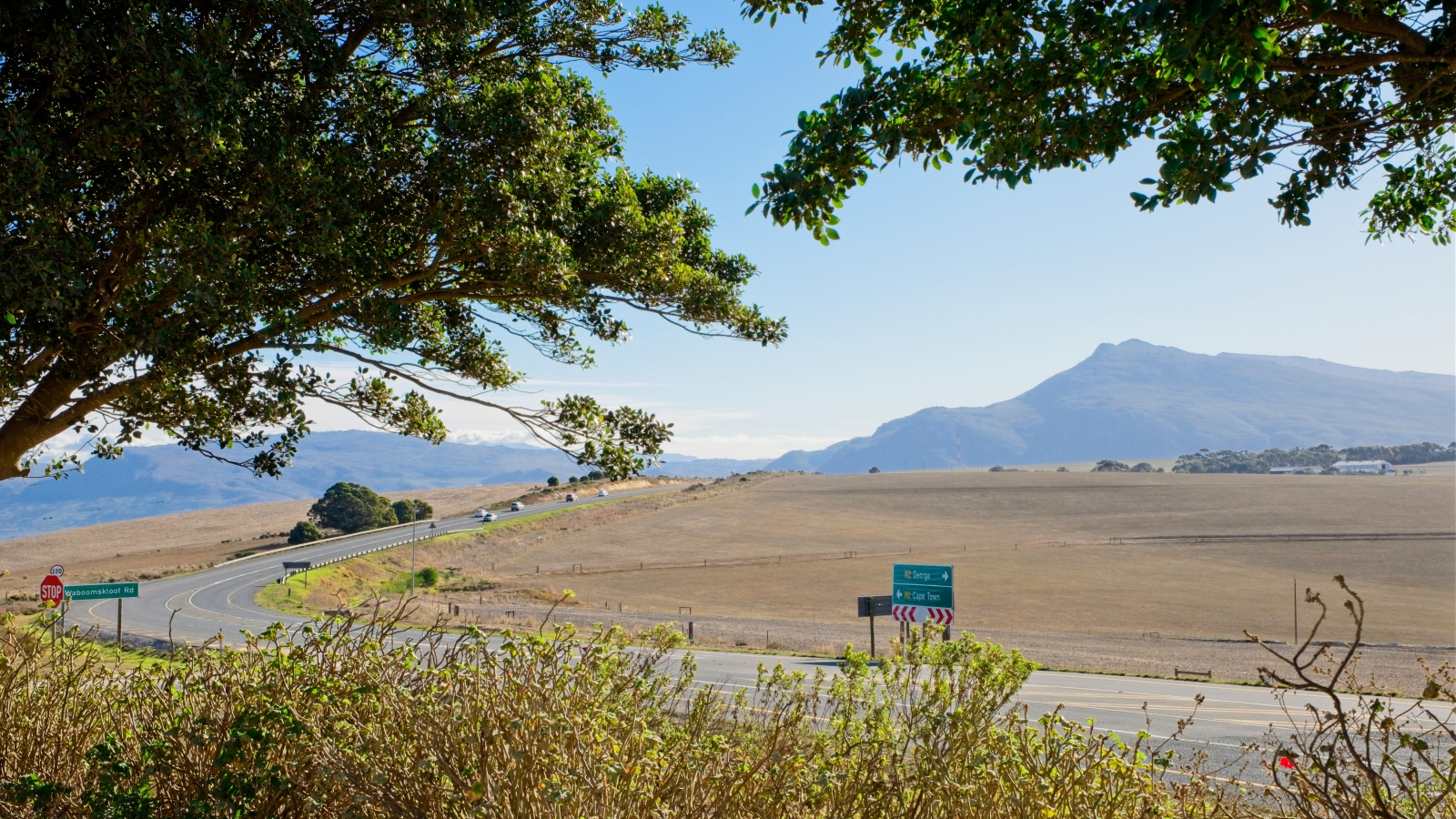
Driving West to East on the N2, from Cape Town, motorists pass through the Sir Lowry’s and Kaaimans River coastal cliff passes, linking the Cape Peninsula to the Overberg and Garden Route.
They also enjoy the more-than-200km scenic Garden Route drive from Mossel Bay in the Western Cape to Storms River in the Eastern Cape.
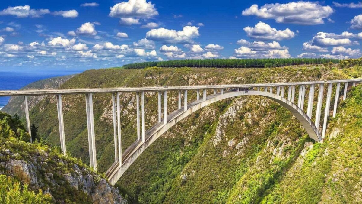
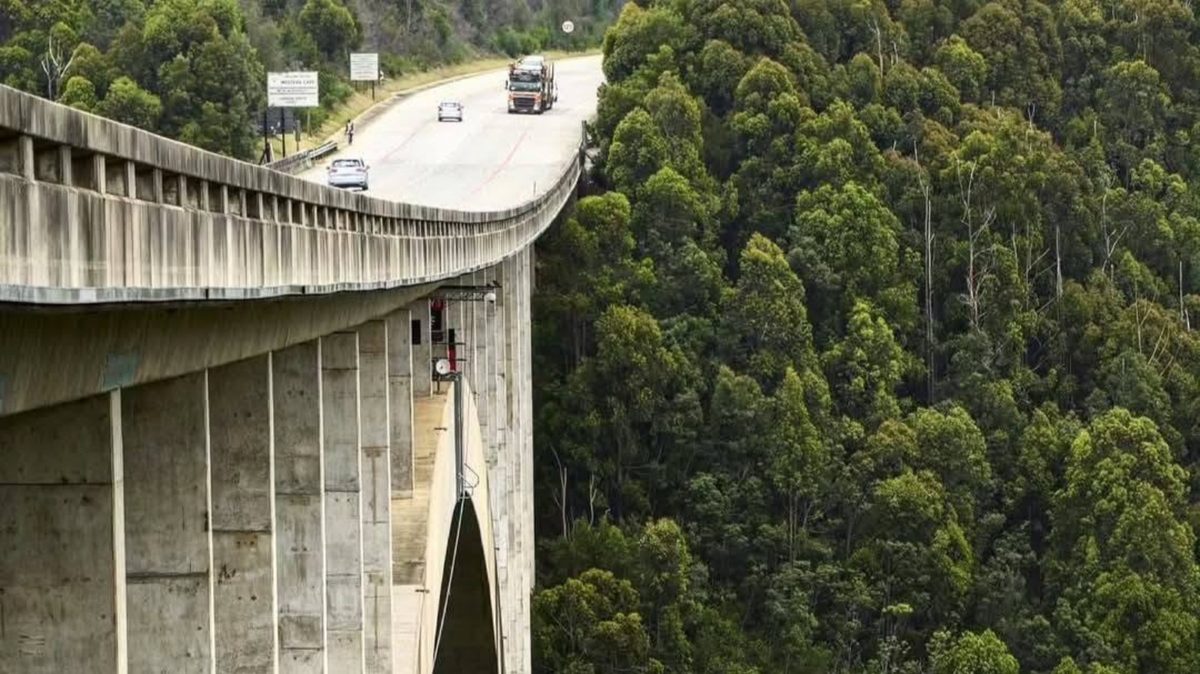
Along this route, the Bloukrans Bridge also falls on the N2, spanning the gorge that marks the Western and Eastern Cape border.
The 451-metre concrete arch bridge rises 216 metres above the Bloukrans River and hosts one of the world’s highest commercial bridge bungee jumps.
The iconic Paul Sauer Bridge carries the N2 across the deep Storms River gorge in the Tsitsikamma forest, leading to the rest of the scenic Eastern Cape leg of the drive, where the N2 Wild Coast Megaproject is underway.
This has been billed as the most significant transformation in the highway’s history, as the South African National Roads Agency (SANRAL) embarks on a 410km realignment project between East London and Port Edward.
Currently, traffic between East London and Durban must detour far inland through Mthatha and Kokstad, while the new coastal route will cut roughly 85km and up to three hours off the journey.
To cross the region’s coastal canyons, the project includes two record-breaking structures under construction in the Eastern Cape, namely the Msikaba Bridge and the Mtentu Bridge.
The former is a 580-metre cable-stayed bridge spanning a 195-metre-deep gorge with 130-metre pylons, set to be South Africa’s longest-span cable-stayed bridge once completed.
The latter is a 1,133-metre balanced-cantilever bridge rising 223 metres above the Mtentu River gorge, designed to become the tallest bridge in Africa upon completion.
Once in KwaZulu-Natal, the impressive four-level EB Cloete “Spaghetti Junction” Interchange in Westville links the coastal N2 with the N3 freight corridor to Gauteng.
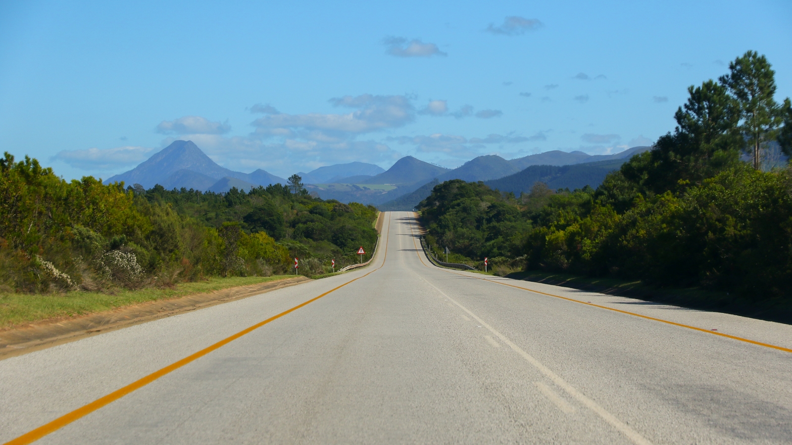
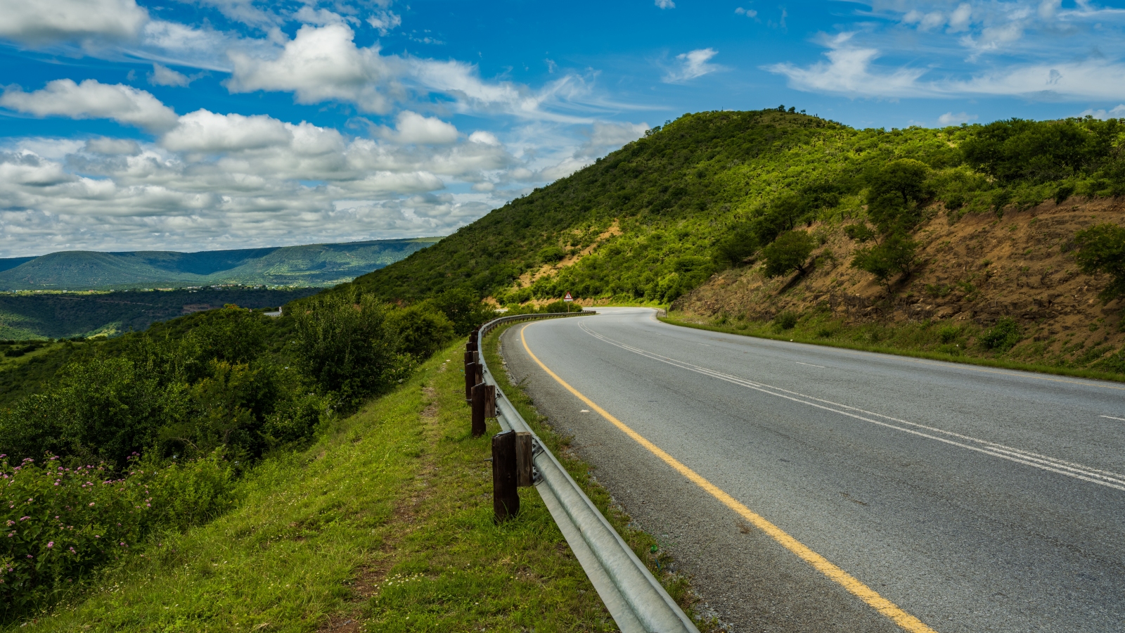
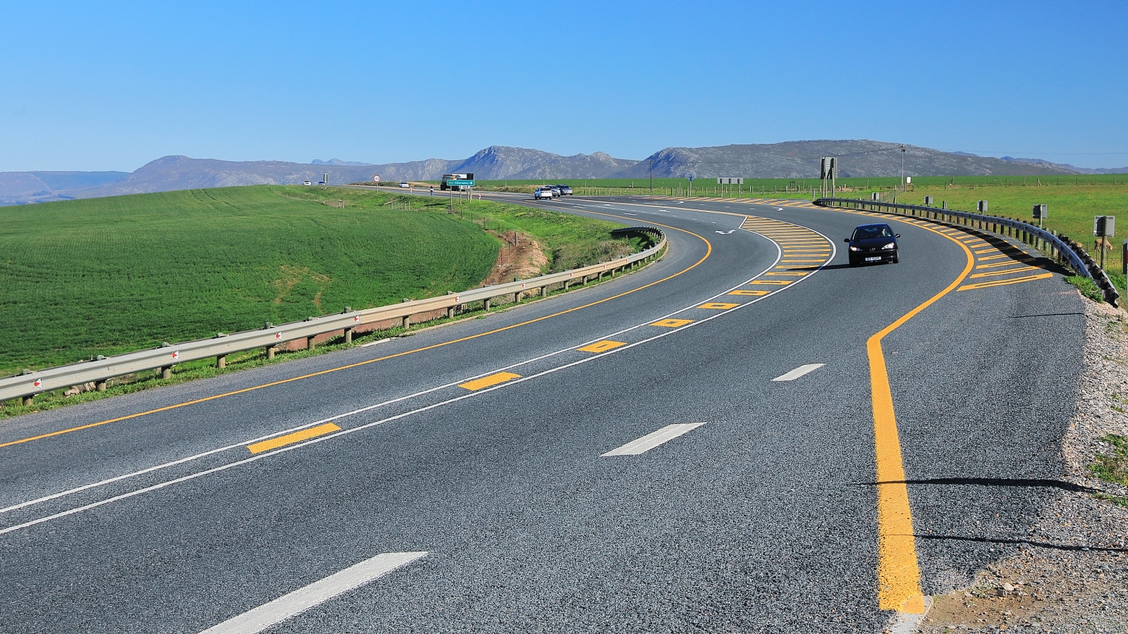
Photos of the N2








 Loading ...