
New car crash tracker handed over to one of South Africa’s deadliest provinces


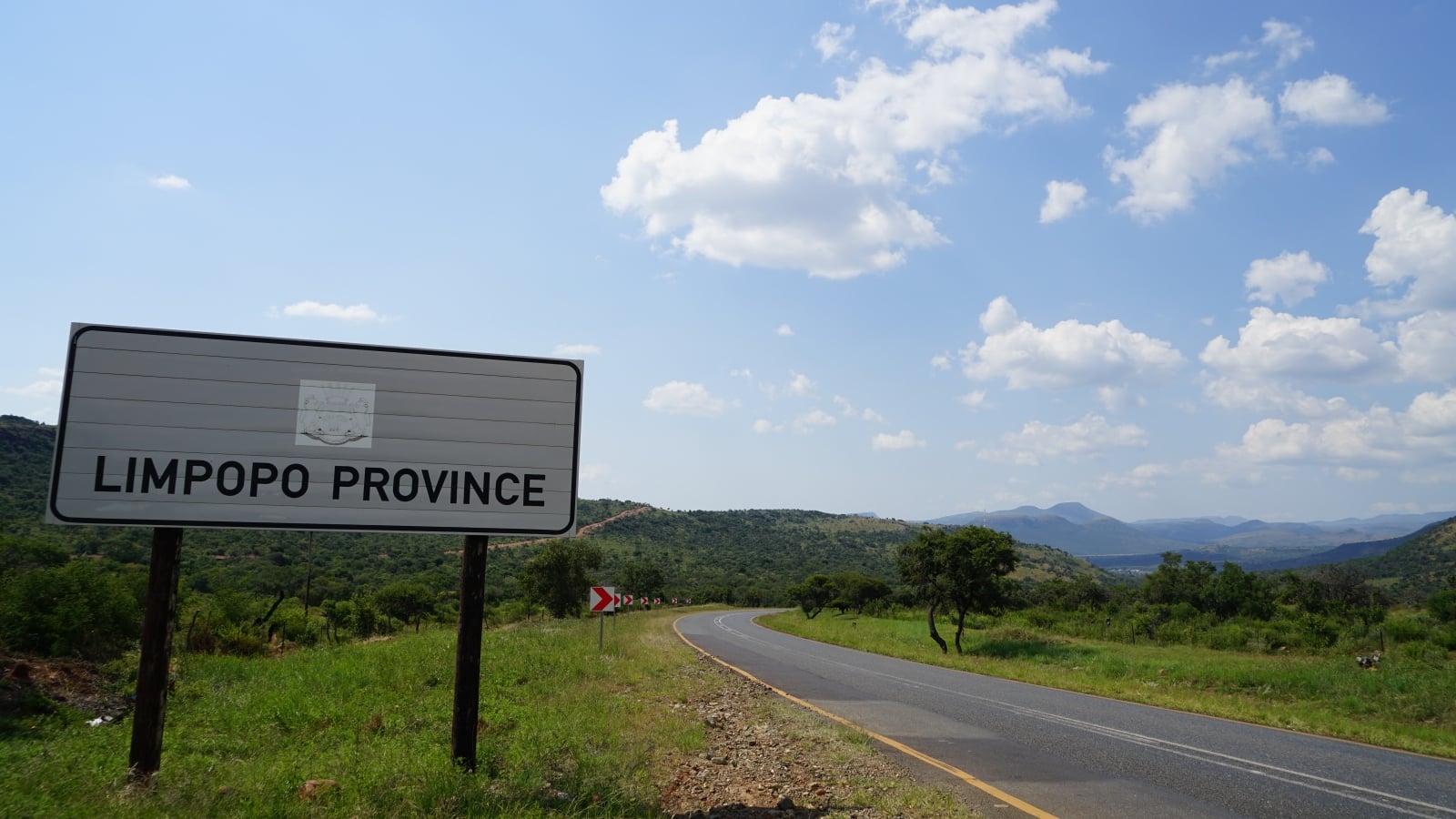
A new digital platform that can track vehicle accidents has been handed over to Limpopo, a province with one of the highest road fatality rates in South Africa.
According to the Road Traffic Management Corporation, Limpopo experienced the single highest number of road deaths of any province during the 2026 Easter Weekend.
South Africa’s northernmost province accounted for 17.62% of the nation’s total fatalities over the high-risk holiday period, reporting 37 traffic-related deaths involving vehicles and pedestrians.
Limpopo has recorded 29 fatal crashes this year, more than double the 12 deaths recorded in 2025, mainly involving pedestrians.
In light of this, the Limpopo provincial government has adopted a new digital dashboard to track vehicle and pedestrian accidents, taxi transport activities, and speeding infringements.
The new dashboard, developed by the Council for Scientific and Industrial Research (CSIR), was formally handed over to the Limpopo government in September 2026; however, it was already used by the province during its development.
It was used during this year’s Easter Weekend, as Limpopo typically experiences a spike in road traffic as households embark on their holidays.
The province also sees a massive increase in traffic numbers due to the annual pilgrimage of millions of members of the Zionist Christian Church (ZCC) to the church’s headquarters, according to MyBroadband.
This pilgrimage, which has been going on since the 1940s, sees its members convene at the Zion City Moria 25km east of Polokwane.
The new digital dashboard allowed the province to track and distribute resources to manage the influx of people attending the event over the Easter Weekend.
Keeping track of road accident hotspots and peak traffic windows
Johan Maritz, urban planning and geospatial expert at the CSIR, said that the dashboard allowed local authorities to analyse their existing data in a more spatialised way.
“It would assist them in targeting their efforts and limited resources more effectively to deal with the high rate of road incidents,” Maritz said.
“They wanted the dashboard as a tool to support planning, such as how and where to allocate resources, dealing with traffic risks at specific locations or during certain times of the year.”
Limpopo also wanted a platform that would allow it to identify high-risk areas in the province. It contacted the CSIR to assist with a proof of concept back in 2023.
The CSIR team was given the green light to develop the dashboard and incorporate additional functions, such as a database of emergency response stations.
“Officials can now use the dashboard to filter road incidents by vehicle type, location (routes) or heavy traffic seasons, such as Easter or the Christmas holidays,” said Maritz.
“They can also see how accessible incidents were to emergency responders in terms of travel time from a response station.”
Prudence Mashige, provincial inspector within the Limpopo Department of Transport, said that her team regularly uses the dashboard and has already identified concerning trends.
She noted that a large number of pedestrians killed in road accidents are found near liquor stores, and that there are many instances of intoxicated persons walking into the road.
Another pattern picked up by the CSIR dashboard is a correlation between road deaths and cross-border vehicles, prompting the local government to establish a 24-hour N1 patrol brigade.
“We now know that the peak time for road incidents starts at about 2 pm on a Thursday and continues throughout the weekend,” she said.





 Loading ...

-2026.10.webp)

Conversation
1 commentsWill Limpopo use it?
Do they have the capability and capacity?